
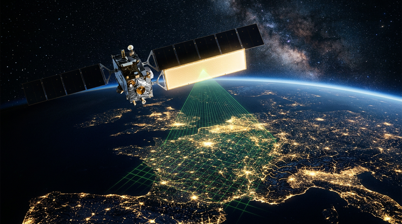

We live beneath an invisible network of technological marvels. Through the Sentinel-1 satellites, the European Union’s Copernicus programme monitors the Earth with remarkable precision. The data can help identify ground movement that may threaten buildings or entire urban areas. They are freely accessible to the public. The problem? Almost nobody knows how to read them.
(Editorial team: European Union & Global / Technology & Property)
When we look up at the night sky, we see stars. But hundreds of kilometres above us, a fleet of satellites is quietly observing the Earth. They do not sleep, blink or get bored. And sometimes, what they detect is more fascinating than any photograph of distant galaxies. A claim that recently caught the attention of internet users goes something like this: “A satellite orbiting 700 kilometres above Earth can detect whether the ground beneath your apartment block has moved by just a few millimetres. The data is public, but almost nobody reads it.” It may sound like science fiction, but satellite-based ground monitoring is an everyday reality within the European Union.
What is Sentinel-1?
The story behind this remarkable technology is part of Copernicus, the European Union’s Earth-observation programme. Sentinel-1 is a mission operated by the European Space Agency (ESA), using satellites equipped with advanced radar instruments. Unlike optical satellites, which need suitable light and clear skies to capture images, Sentinel-1 radar can observe the Earth through clouds and both day and night.
The technique used to detect very small movements from hundreds of kilometres above the ground is called Synthetic Aperture Radar Interferometry (InSAR). The satellite sends radar signals towards the Earth and records the returning waves. By comparing radar images of the same area acquired at different times, scientists can identify changes in the radar signal caused by surface movement. With suitable data and processing, ground movement can be monitored down to a few millimetres.
Why does this matter to you?
Imagine living in an apartment block built on clay-rich ground in a large city. A small amount of ground settlement may occur naturally. But what if the movement becomes uneven? What if one side of the building sinks faster than the other? Often, the first visible sign is a crack in the plaster; a proper engineering assessment may then be expensive.
This is where Sentinel-1 data can be useful. Ground-motion maps can show how the surface in your neighbourhood has moved over recent years. For insurance companies, such information can help assess exposure to risk. For local authorities, it can support urban planning. For property owners, it offers an additional source of information when considering potential ground-stability issues.
For example, in cities such as Mexico City and Jakarta, as well as in some areas of Romania affected by landslides or subsidence, satellite-based monitoring has identified neighbourhoods where the ground is sinking by several centimetres a year.
The digital treasure few people access
There is, however, a major irony in this story: much of this data is freely available to the public. The Copernicus programme provides access to satellite imagery and radar-derived information. Why do so few people use it? Because most people do not know these resources exist. The raw data can be large and complex, and interpreting it properly requires specialist knowledge.
This is the idea behind hashtags such as #reviews and #apartmentblock: instead of relying solely on what a property developer tells you when selling an apartment, you could also consult satellite-derived ground-motion information. Unfortunately, in Romania, the property market still often relies more on “that’s what the neighbour said” than on scientific analysis of available data.
Conclusion
We live in an era when information is just a click away, even when it comes from space. The fact that European satellites can help measure how the ground beneath our feet is moving should give us both a sense of what technology can achieve and a reason to use it responsibly. The technology exists. The data is available. The question is whether we are willing to look beyond the pavement and pay attention to what is happening hundreds of kilometres above us.



Leave a Reply